Toggle navigation
The Data Visualization Research Lab
About
People
Projects
Tools
Equipment
Visualization Displays
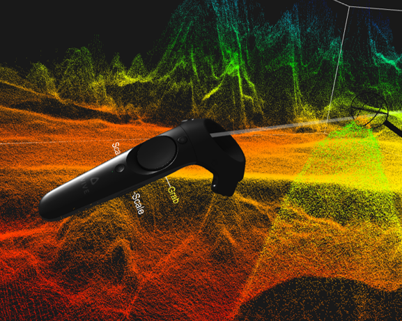
Interaction and Input Devices
Vis Tools
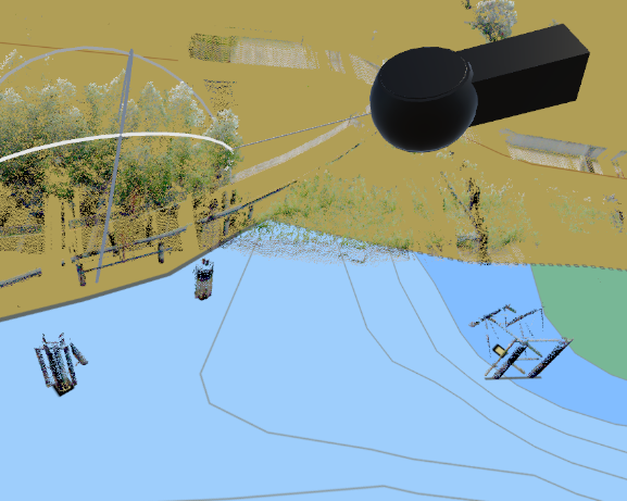
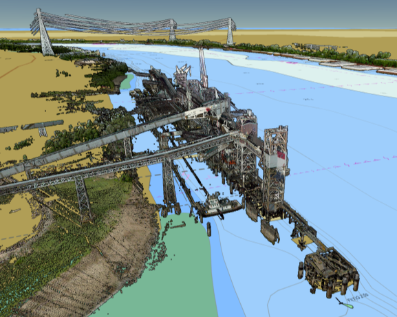
Virtual Mississippi River
Point Clouds
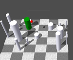
3D Navigation
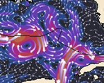
Flow Vis
AR Simulator
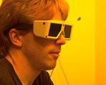
Stereoscopic Displays
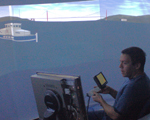
Fishtank VR
Chart of the Future
Visual Thinking Design Patterns
Semiotics
Networks
GeoCam
TrackPlot™
AIS
GeoZui4D