You are here
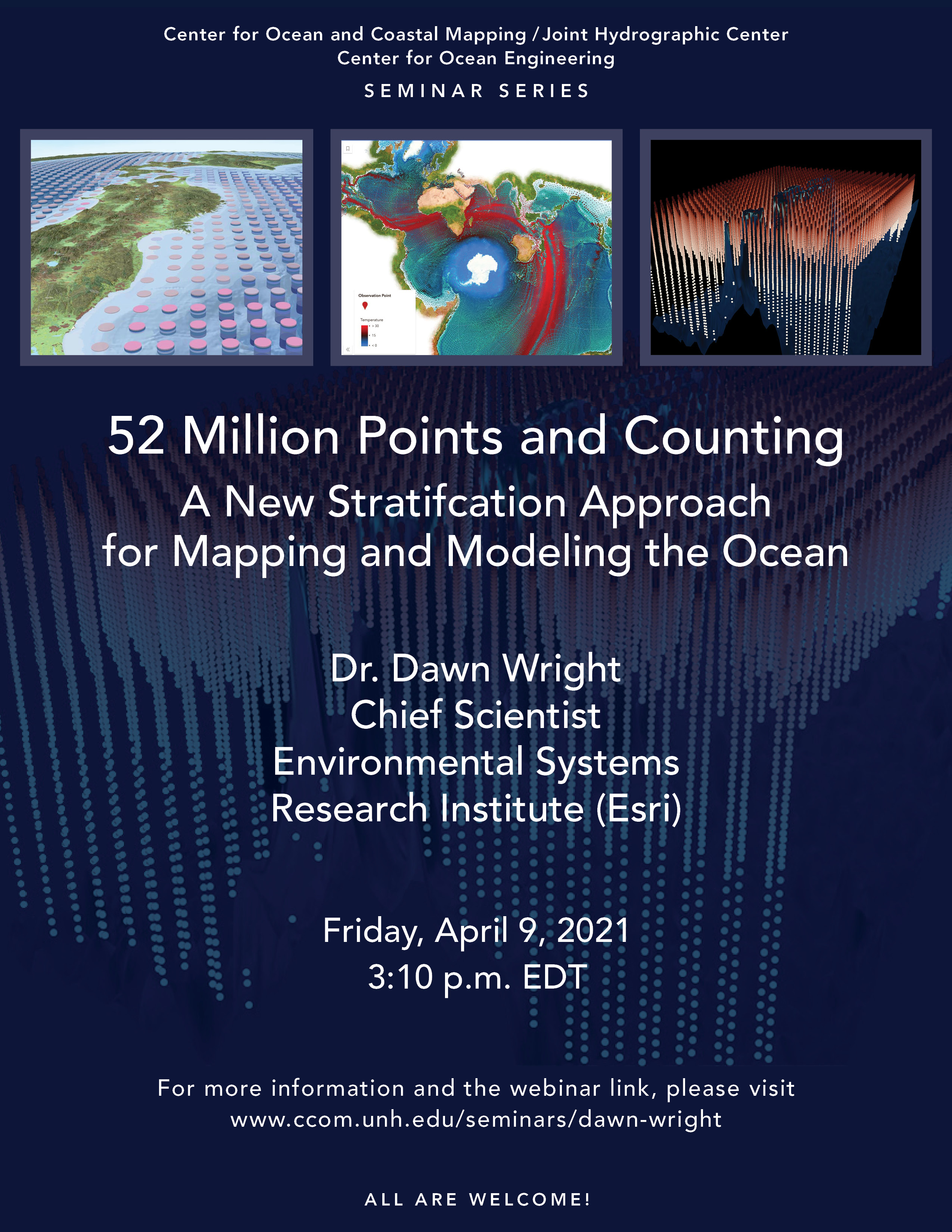
52 Million Points and Counting: A New Stratification Approach for Mapping and Modeling the Ocean
Esri
This talk provides an overview of an undertaking commissioned by the Group on Earth Observations (GEO) as a means of developing a standardized and practical global ecosystems classification and map for the oceans. It is considered a key outcome of the GEO Biodiversity Observation Network (GEO BON), as well as a contribution to GEO’s Marine Biodiversity Observation Network (MBON). The project, entitled Ecological Marine Units (EMUs), is one of four components of the GI-14 GEO Ecosystems Initiative developed for eventual use by the Global Earth Observation System of Systems (GEOSS). The EMUs can be thought of as a global 3D analytic base map for the oceans and are comprised of a global point mesh framework, created from 52,487,233 points from the NOAA World Ocean Atlas; spatial resolution is ¼° by ¼° by varying depth; temporal resolution is currently decadal; each point has x, y, z, as well as six attributes of chemical and physical oceanographic structure (temperature, salinity, dissolved oxygen, nitrate, silicate, phosphate) that are likely drivers of many ecosystem responses. We implemented a k-means statistical clustering of the point mesh (using the pseudo-F statistic to help determine the numbers of clusters), allowing us to identify and map 37 environmentally distinct 3D regions (candidate “ecosystems”) within the water column. These units can be attributed according to their productivity, direction and velocity of currents, species abundance, global seafloor geomorphology (from Harris et al.), and much more. A series of data products for open access shares the 3D point mesh and EMU clusters at the surface, bottom, and within the water column, as well as 2D and 3D web apps for exploration of the EMUs and the original World Ocean Atlas data. There are currently 15 EMU use cases underway by a variety of organizations around the world, and a global delineation of global Ecological Coastal Units (ECUs) is in progress to connect the EMUs to land.
The talk will also include additional information about Esri’s science program, partnerships, and student opportunities.
Shared Links from Dr. Wright's Presentation
-
Overview of EMUs: https://www.esri.com/en-us/about/science/ecological-marine-units/overview
-
An application - prediction of seagrass habitats using ML: https://learn.arcgis.com/en/projects/predict-seagrass-habitats-with-machine-learning/
-
Localized EMU discussed at 2017 Ocean GIS Forum (November is this year's Ocean, Weather, and Climate Forum): https://www.youtube.com/watch?v=KJBXHZa1nJs
-
Save The Date - 11/3-4, 2021 - Esri Ocean, Weather, and Climate GIS Forum: https://www.esri.com/en-us/about/events/owc-forum/save-date
-
A PDF file of the presentation itself: esriurl.com/unh
-
ttps://livingatlas.arcgis.com/emu/?lat=37.77279868498048&lng=-122.4375999345014&zoom=3 for the viewer and link to data
-
Another fun activity - making GIFs of EMU (and it is possible in Pro) - https://www.esri.com/arcgis-blog/products/natural-resources/natural-resources/animating-emus-with-arcgis-pro/
- 2021 Esri Developer Summit just wrapped up - videos here https://www.youtube.com/watch?v=HuyhnxnS5-4&list=PLaPDDLTCmy4bl7t6OOCoNX23nrwJIdWnW
After 17 years as a professor of geography and oceanography at Oregon State University Dr. Dawn Wright was appointed Chief Scientist of the Environmental Systems Research Institute (aka “Esri”), a world-leading geographic information system (GIS) software, data science and R&D company in October 2011. As chief scientist of Esri, Dawn works directly with the CEO on strengthening the scientific foundation for Esri software and services, while also representing Esri to the national/international scientific community. She maintains an affiliated full professor faculty appointment within the College of Earth, Ocean, and Atmospheric Sciences at Oregon State University.
Dawn’s research interests include geographic information science; ocean informatics and cyberinfrastructure; benthic terrain and habitat characterization; and the processing and interpretation of high-resolution bathymetry, video, and underwater photographic images. She has authored or co-authored more than 180 articles and 12 books on marine GIS, hydrothermal activity and tectonics of mid-ocean ridges, and marine data modeling. Dawn has participated in over 20 oceanographic research expeditions worldwide, including 10 legs of the Ocean Drilling Program aboard the JOIDES Resolution, three dives in the deep submergence vehicle Alvin and two dives in Pisces V.
Dawn’s recent advisory board service includes the Science Advisory Boards of NOAA and the EPA, the Science Advisory Council of Conservation International, the National Academy of Sciences Ocean Studies Board, the Science Advisory Board of COMPASS Science Communication, Inc., the EO Wilson Biodiversity Foundation, and many journal editorial boards.
Dawn was the recipient of an NSF CAREER Award in 1995, was awarded a Fulbright to Ireland in 2004, the OSU Milton Harris Award for Excellence in Basic Research in 2005, elected a Fellow National to the Explorers Club in 2013 and awarded the George Davidson Medal for Pacific Ocean exploration and research in 2020. She is a Fellow of The Oceanography Society (TOS), the American Association for the Advancement of Science (AAAS), the Geological Society of America (GSA), the American Association of Geographers (AAG), the California Academy of Sciences, and Stanford’s Leopold Leadership Program, as well as a former Oregon Professor of the Year.
Dawn holds an Individual Interdisciplinary Ph.D. in Physical Geography and Marine Geology from the University of California, Santa Barbara, an M.S. in Oceanography from Texas A&M, and a B.S. cum laude in Geology from Wheaton College (Illinois).
Other interests include road cycling, mountain biking, apricot green tea gummy bears, 18th-century pirates, her golden retriever puppy Riley, and SpongeBob Squarepants. Follow her on Twitter @deepseadawn. Website: http://dusk.geo.orst.edu.


